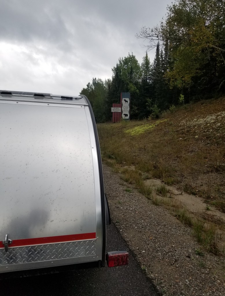
[Autumn 2022] On the second half of a road trip around northern Ontario (not way north, like “up there”, but along the east and northeast coast of Lake Superior, then back down to Wawa and inland from there), along Hwy 129 less than an hour south of Chapleau, I came across an interesting roadside attraction that makes you feel you are pretty far “up there”.
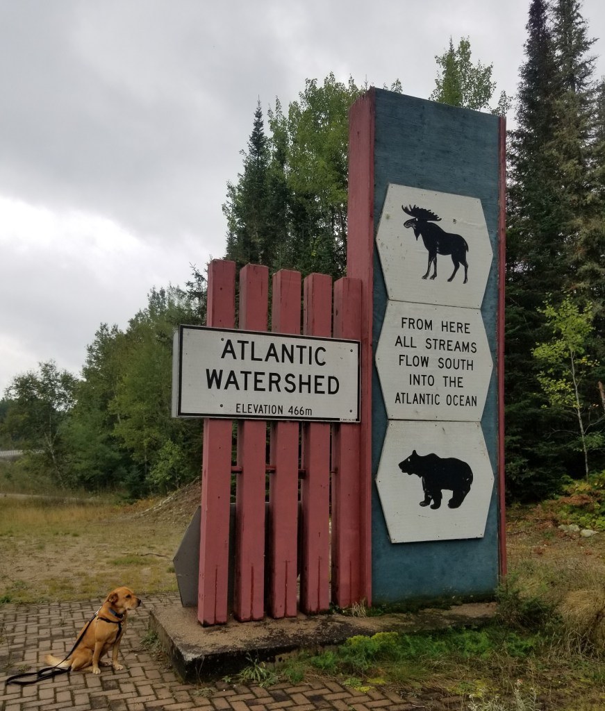
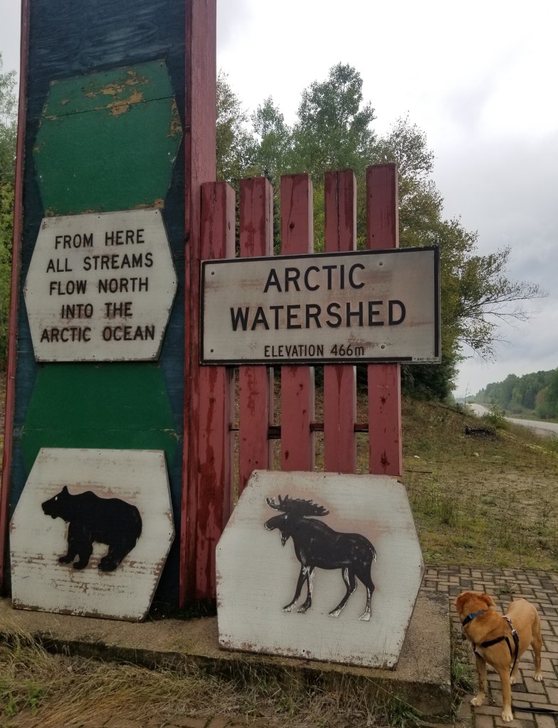
The sign delineating the watershed shows the point where, to the north all rivers flow to James/Hudson Bay and onward to the Arctic Ocean, and to the south flow to the Great Lakes and onward to the Atlantic. Similar signs exist on other major roadways connecting central and northeastern Ontario.
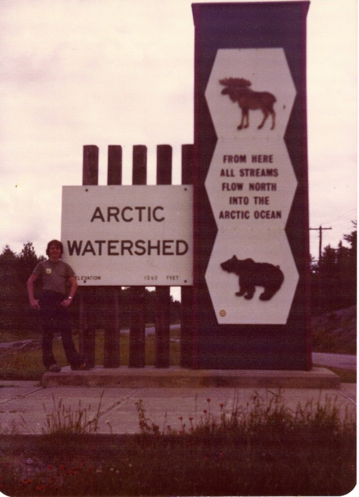
Somewhere, in an old album of actual print photos mounted on sticky pages covered with cellophane, I recalled there is a photo of myself as a boy standing at a sign like this on some kind of family road trip through northern Ontario though it wasn’t this particular sign. Other than changing the elevation from feet to metres it doesn’t look like it’s had much upkeep since the early 80s and could use some TLC.
But, diminutive and dated as the sign might appear, it’s quite awesome to think about what it actually means and where it is on the land you are standing. Things like this are worth a stop. And a think.