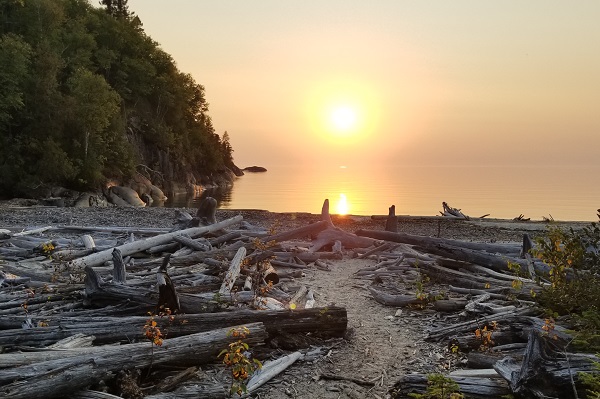
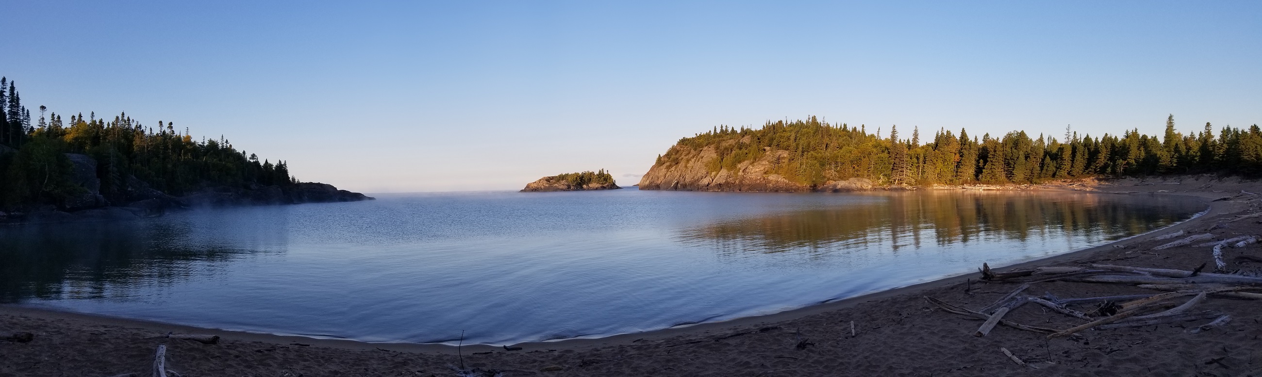
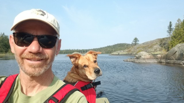
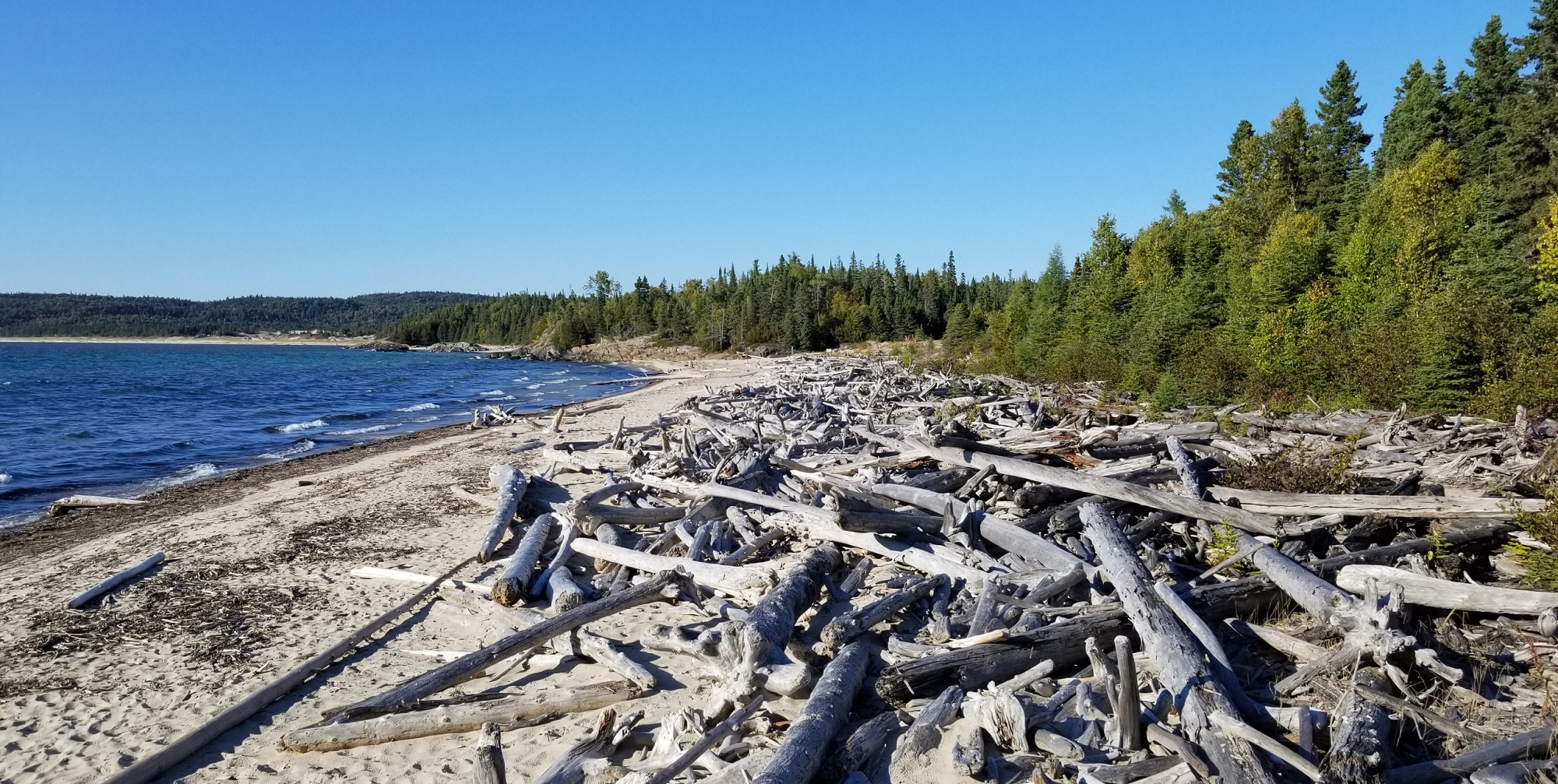
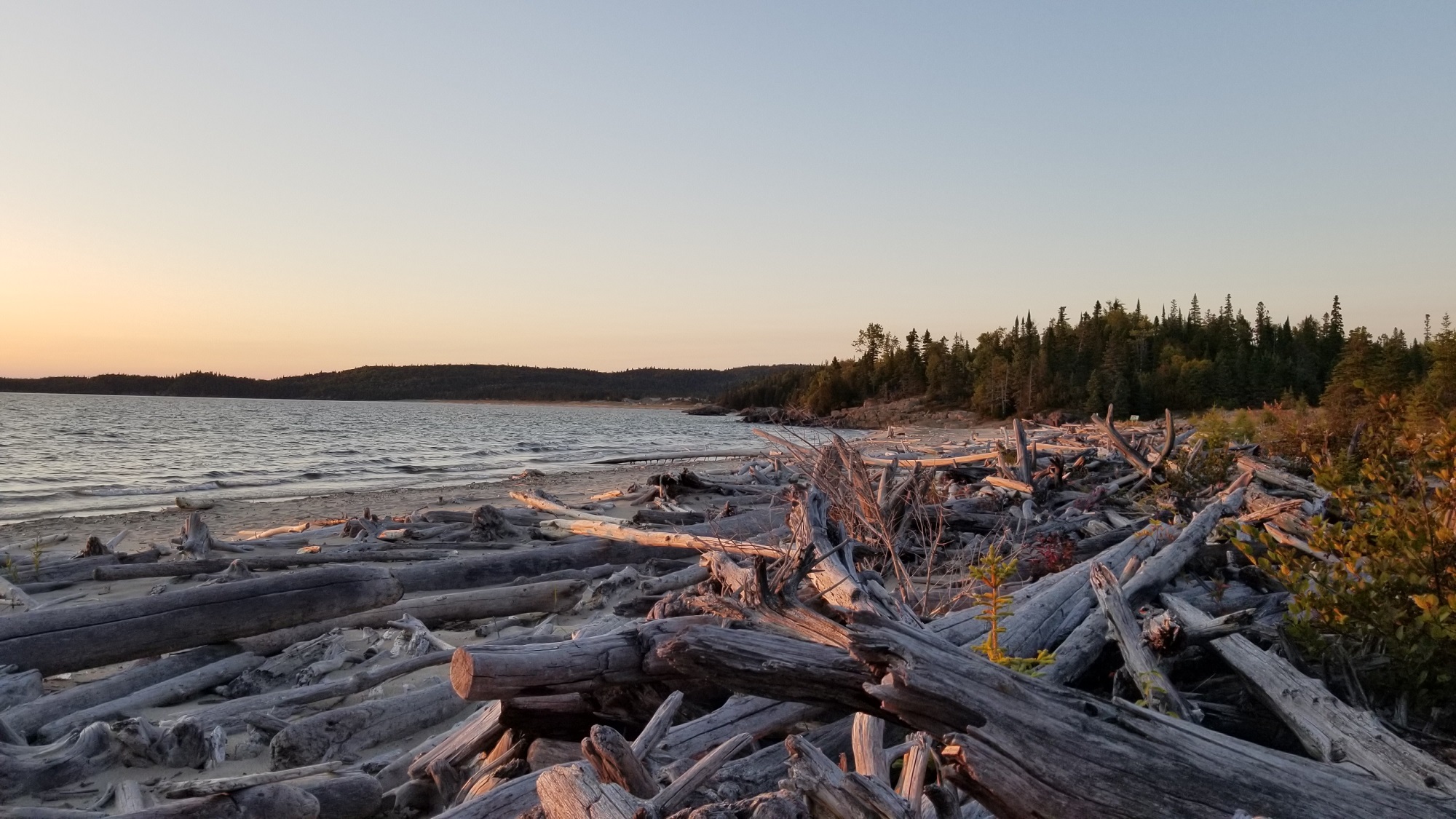
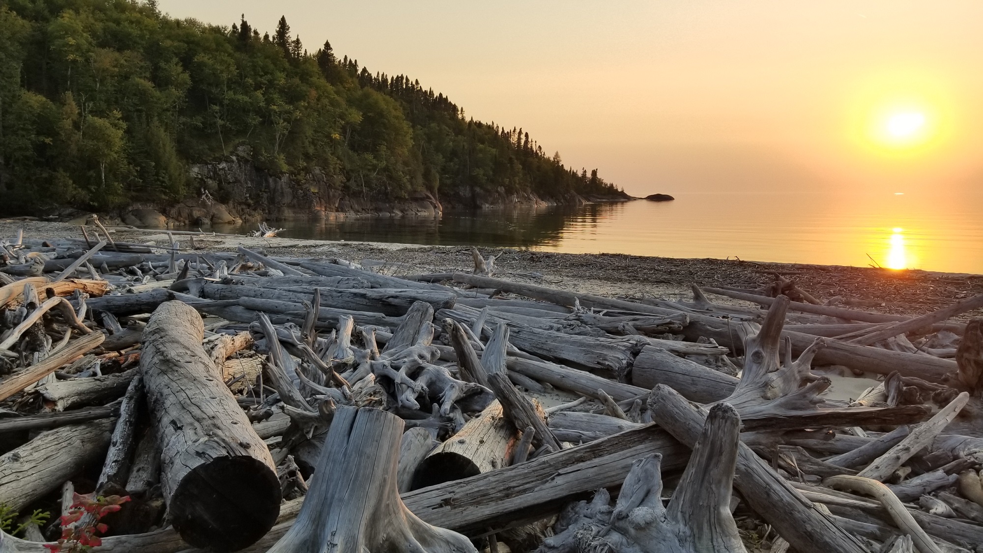
Imagine falling asleep in your cozy teardrop camper to the sound of ocean surf crashing ashore. Come morning, a brief walk coffee-in-hand to a beach strewn with large driftwood surrounded both sides by stark dramatic rocky promontories. It all looks and feels a bit like the west coast of Vancouver Island. But you’re in Ontario.
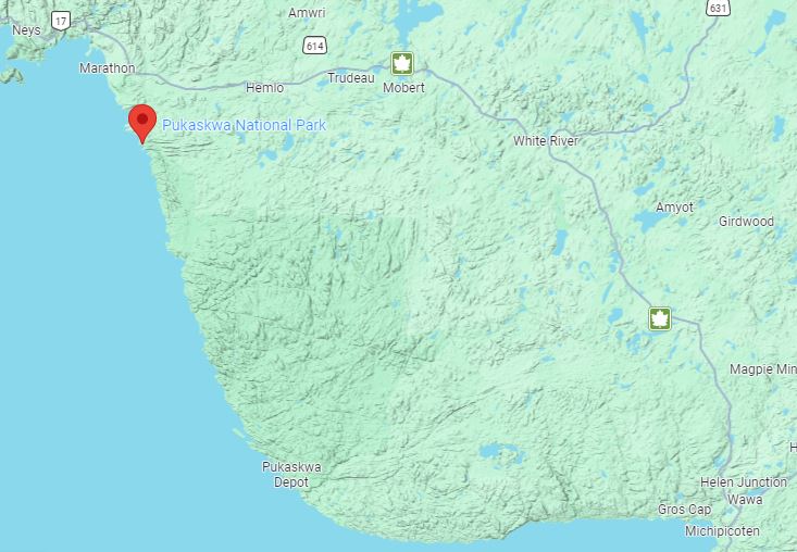
Pukaskwa (pronounced puck-a-saw) National Park is a vast land mass along the northernmost extent of Lake Superior’s east shore. Most of this large area is oriented to backcountry hiking and paddling adventures, but Hattie Cove campground at the northwest corner of the park has drive-in campsites for tents, trailers and RVs and offers landscapes and trails right from the campground which experience the essence of the park.
Unique Lake Superior Landscapes
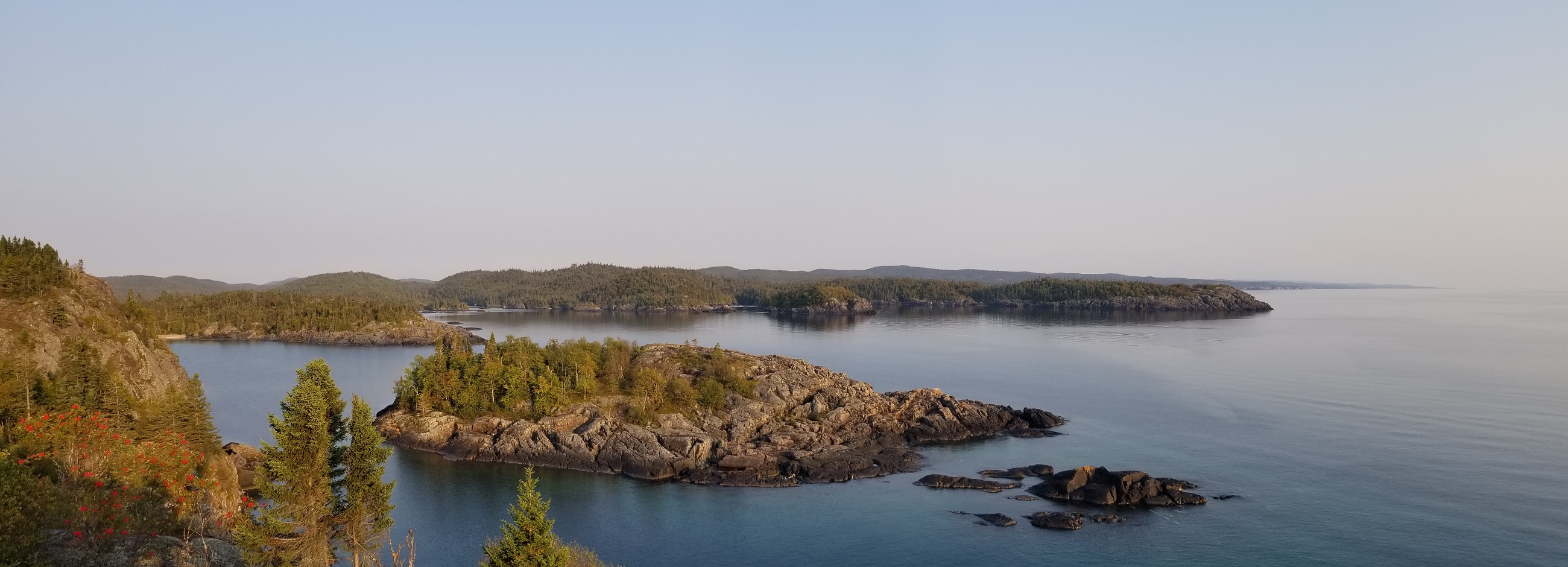
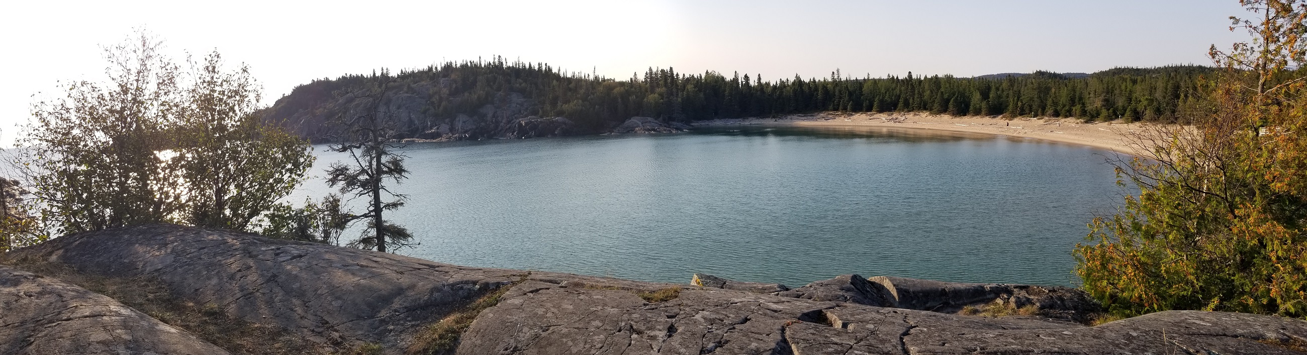
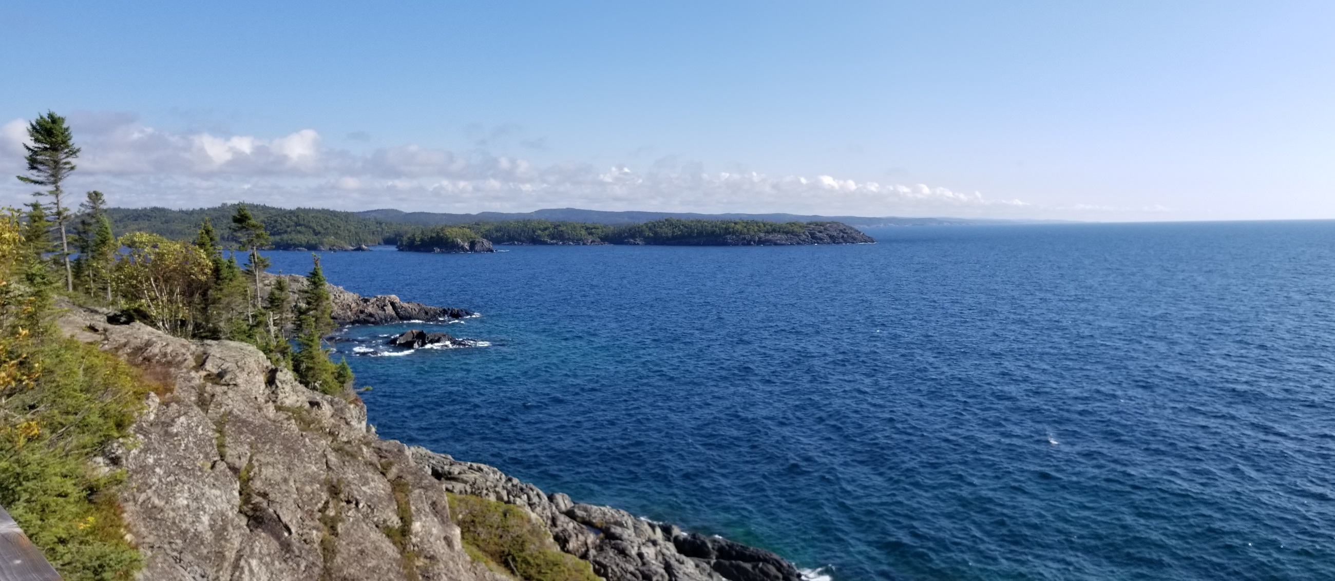
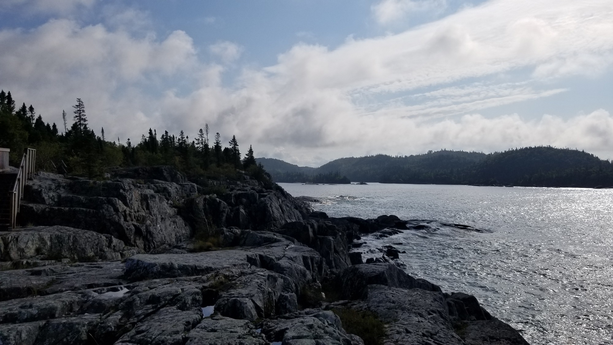
If you’ve travelled Highway 17 anywhere between The Sault and Thunder Bay along the shore of Lake Superior you know this massive lake seems like an inland sea. The ocean-like vibe is perhaps nowhere more evident than at Pukaskwa. In contrast to the smooth rock Lake Superior shores characteristic of so many Group of Seven Paintings, at Pukaskwa the landforms are scraggy and craggy, rough and rugged. Rock meets water head-on, large and looming, and standing atop one of the headlands accessible by trail from the campground it takes little leap of imagination to believe you are on Canada’s west or east coast.
Hattie Cove is a large protected inlet off of wild Lake Superior. Looking out at the gorgeous view from the Visitor Centre, located just inside the mouth of the inlet, the scene appears so uncannily BC-like that you almost expect to see a Sea Otter pop up out of the water.
I’ve camped at several provincial parks along Lake Superior… Sleeping Giant, Rossport, Neys, Rabbit Blanket and Agawa Bay… and none of them duplicate elements of the Pukaskwa experience.
Lots to See & Do
There’s no shortage of adventures, and they all begin from the campground area. There is no need to drive to get to any of them.
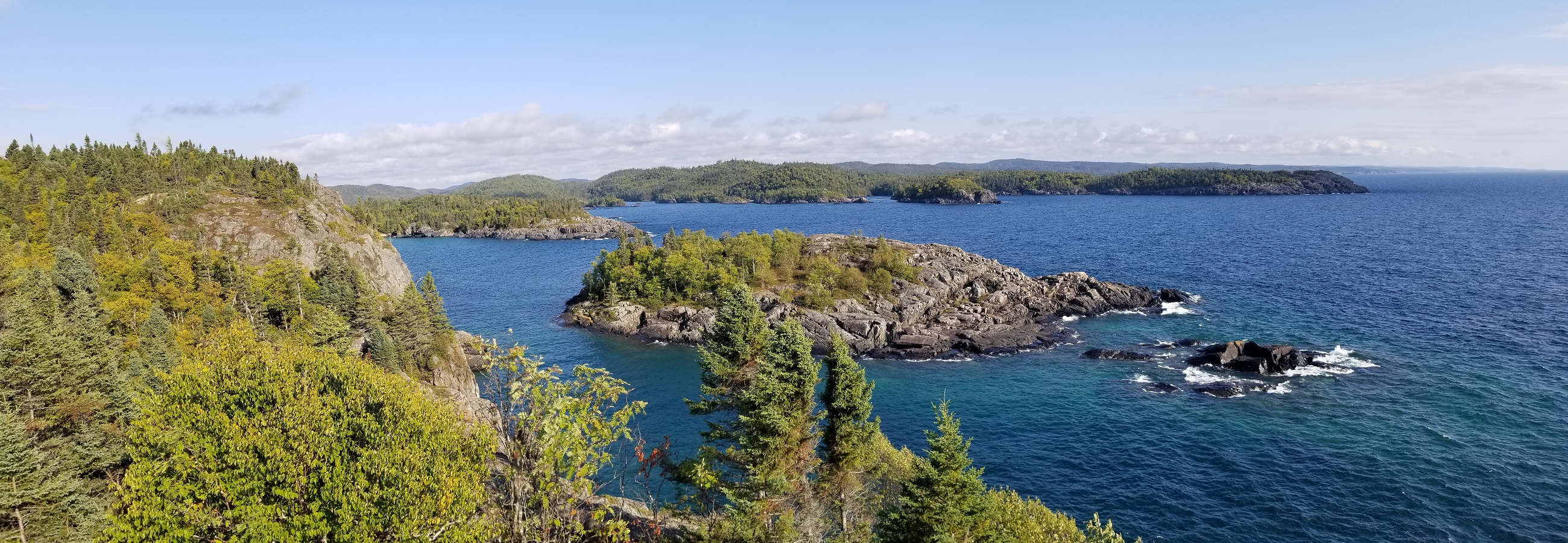
Hiking: There are two loop trails, each 2km, around the headlands jutting out into Lake Superior on each side of Horseshoe Bay. Actual hiking time for either is around an hour but with all the scenery and panoramic vistas it’s easy… advisable really… to end up allowing twice that time or more. I spent a lazy afternoon out on the tip of the bluff reading
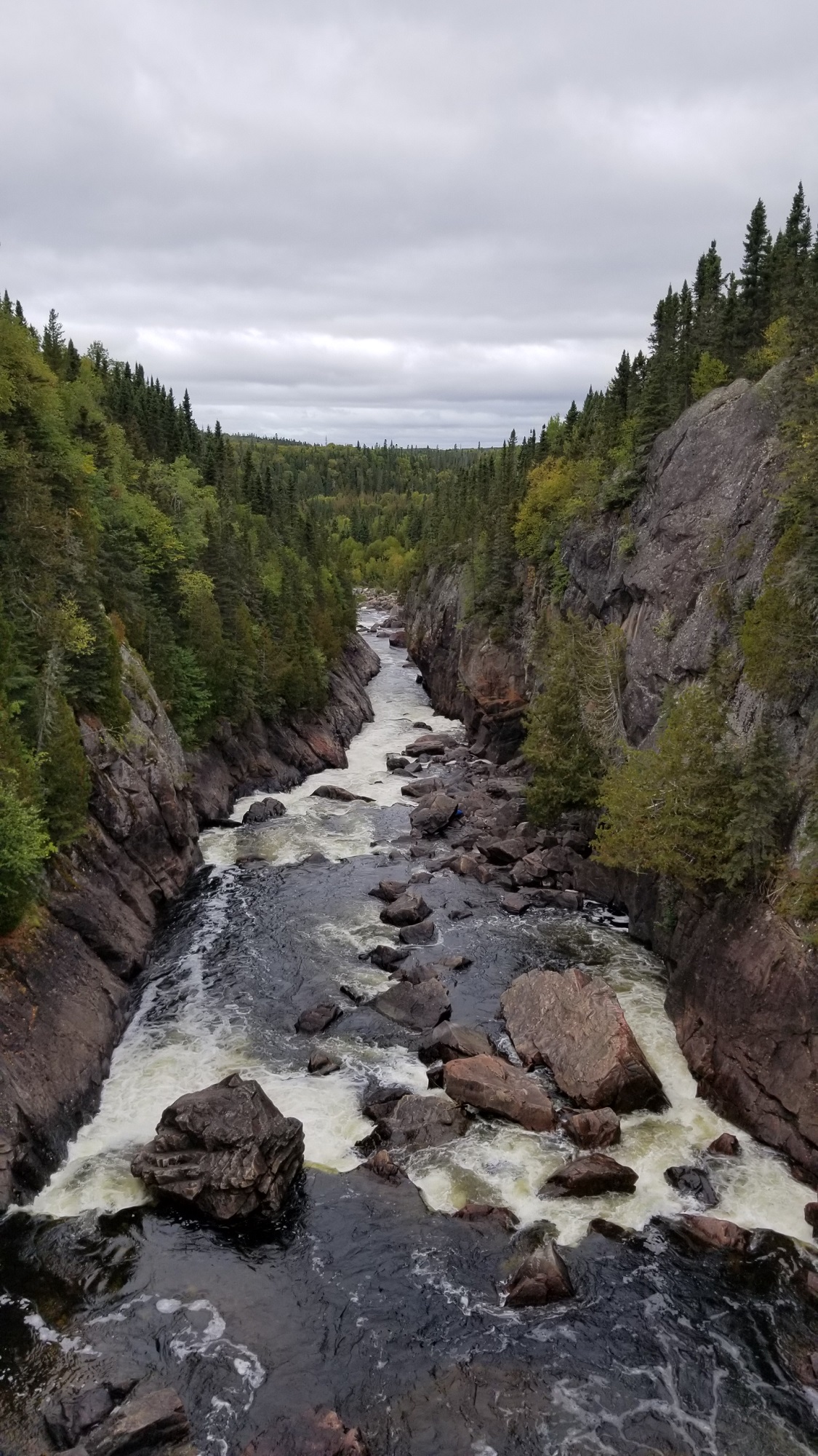
For a grand adventure, the coastal trail (what is used by backcountry campers) will take you to the White River Suspension Bridge—though be warned this is a rugged but rewarding 20km return hike, a full-day undertaking that demands some planning & preparation.
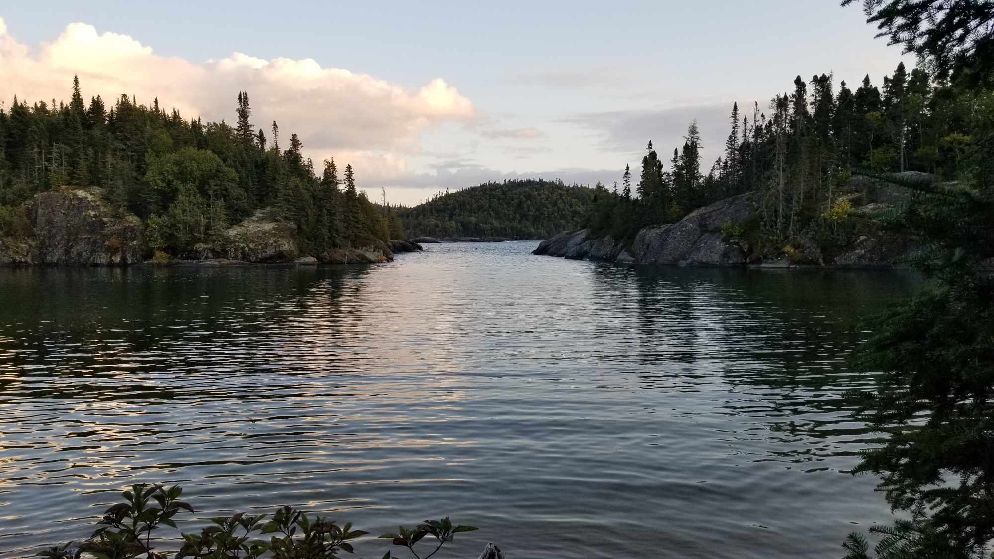
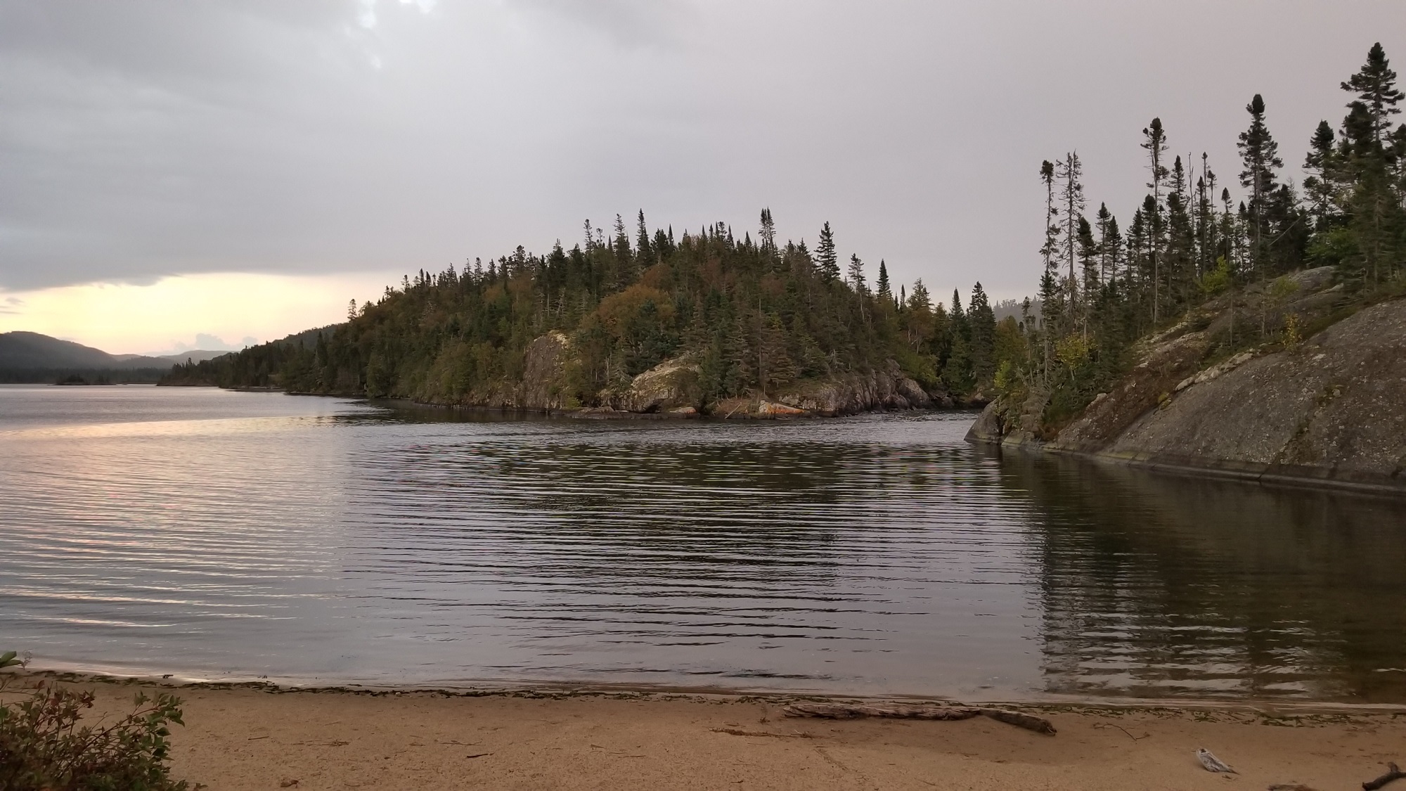
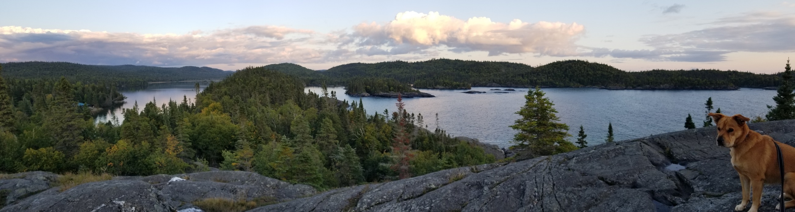
Paddling: Hattie Cove is a large inlet, good for an hour or for an afternoon of canoeing or kayaking, with awesome scenery surrounding it. I was told there is good fishing. Rent a boat from the Visitor Centre or use the launch area for your own.
Beaches: West of Horseshoe Bay, the beach trail leads you along 3 more beautiful fine sand areas spread over 1½ km, strewn with fascinating driftwood to explore and loads of space for everyone to find their special beach nook.
Seven Grandfather Teachings
There is clearly an Indigenous focus, and Indigenous involvement, in this National Park. It shows through in the publications, signage and trail naming. There is a traditional Anishinaabe Camp you can visit which serves as an “illustration of a life lived before us and holds space for those traditions to live on” (Park Visitor Guide).
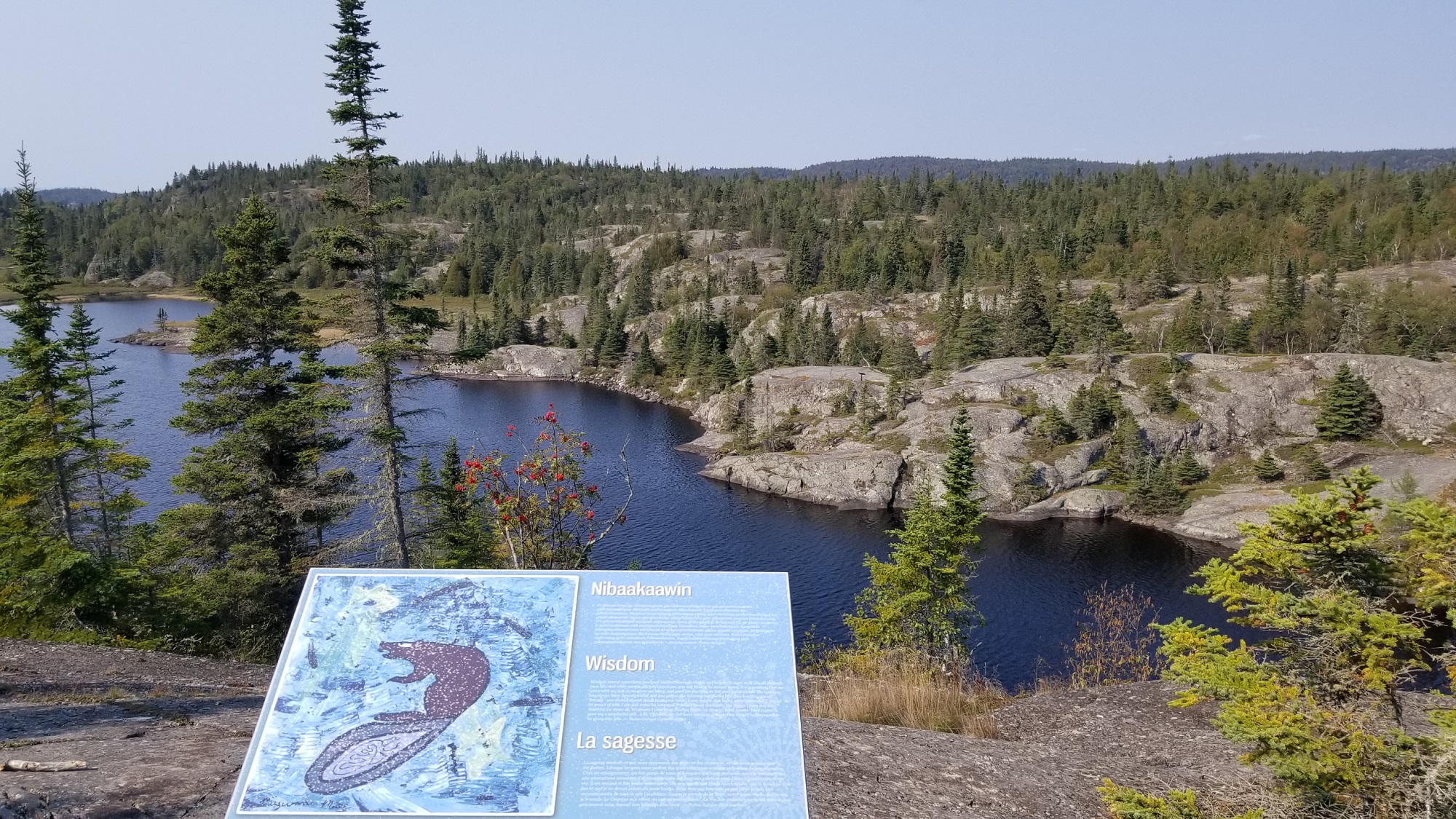
Not to be missed, is Bimose Kinoomagewnan, “walk of teachings”, a special 4km trail which shares the lessons of the Seven Grandfather Teachings along a highly scenic inland trail circumnavigating Halfway Lake. Interpretive plaques with artwork along the trail share Elders’ stories about love, honesty, respect, wisdom, truth, humility, and courage in local culture.
Hattie Cove Campground
The campground has just 67 sites, about half of which are electrical, spread over 2 loops. Each loop has its own comfort station with showers, and they are among the best I have seen in organized campgrounds. Every site is reasonably large and reasonably private and all good quality. There are no bad sites that I could see, plus there are several great ones in each loop.
Almost all sites are shade or part-shade, the latter being my preference for solar panel exposure. Overall, I like sites 30-38, since they are within earshot of shore if big waves are rolling in, and shortest walk (barely 5 minutes) to Horseshoe Bay. The northern loop (sites 43-67) is only open during peak season.
No Site Reservations, First-come System in Effect
I left this until last, because it’s probably the first reason some folks pass this awesome park by. Is it worth driving in 20 minutes from Highway 17 to maybe get a camp site you wonder?
How it works: Check-out/in is 11AM. Campers must vacate their site by then on the day their permit ends. Incoming campers can cruise the loops anytime after 11 to look for a site. When you find one you like, leave a piece of equipment on it and return to the gatehouse to register. Or park your vehicle and trailer on the site and walk to the gatehouse… it’s only 5-10 minutes on foot.
On my two stays, I got there around noon and had a good choice of sites available. And even getting on later in the afternoon I saw a few sites still vacant—though that was in September and peak season would no doubt be busier. A good strategy is to camp somewhere nearby (e.g., Neys or White Lake Prov Parks, or the municipal campground in Marathon) the night before so you can get to Pukaskwa in good time.
Once you’re registered, if you wish to extend the stay on your current site, you can do so anytime up until your current permit expires, up to a maximum stay of 13 nights. Or if you wish to change site, you do the same cruise-and-register system as when you arrived.
So why are site reservations unavailable at this National Park? I wondered that too and parks staff explained this policy is to respect local Indigenous peoples’ opportunity to camp on what are their ancestral lands and have reasonable opportunity to do so when they wish. If there were reservations, particularly with just 67 sites, the campground could easily get booked-up for weeks on end by folks from afar.
Well, have I convinced you it’s worth adding to your Teardrop Trailer bucket list?!? Just coincidence, but on my first visit to “Puk” in September 2023 there were 3 Teardrop campers in nearby sites to mine, which became the inspiration to start the Teardrops I Have Met page. This park is a great stop on a road trip but also worthwhile as a destination trip; a fave I would return to, and one of just few destinations that get a sticker inside the teardrop sleeper cabin.


Thank you for the Great Lakes spots that you’ve mentioned in the past, but especially for this one. We’re starting to think of our route once we reach Maine and then to/around Lake Superior to visit family in Michigan next fall. And this campground sounds wonderful. Thanks again. Happy travels in the months to come.
LikeLike